Use high-quality terrain maps and surface models to uncover insights about Earth's dynamic environmental systems, track change over time, and enhance predictive modelling.
Geomorphological Studies
Use elevation data to study landforms and the processes that shape them, such as erosion, deposition, and mass wasting
Small Waterway Monitoring
Analyze landforms, drainage patterns, and other surface features and track landscape evolution
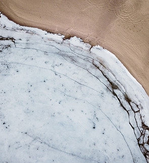
Coastal Zone Management
Map and analyze shorelines and other coastal landforms to aid in understanding the processes that shape these landforms over time
Climate Research
Combine accurate terrain maps, models, and historical data with climate predictions to do geomorphological predictive modeling for risk assessment